Road Closures – Latest Updates and Tips for Safe Travel in Africa
If you drive or commute daily, a sudden road closure can turn a short trip into a nightmare. In South Africa, Kenya, Nigeria and beyond, construction, protests or weather events shut down major routes without much warning. Knowing where the blockages are and how to react saves time, fuel and stress.
Why Road Closures Matter
Road closures affect more than just your commute. They can delay emergency services, disrupt supply chains and increase accident risk on detour routes. In cities like Johannesburg or Nairobi, a single closed highway can add hours of congestion to the grid. For businesses that rely on timely deliveries, a blocked road often means lost revenue.
Beyond economics, safety is the biggest concern. Drivers forced onto unfamiliar side streets may encounter narrow lanes, poor lighting or missing signage. Pedestrians and cyclists also face higher danger when traffic is rerouted through residential areas. Understanding the why behind each closure helps you plan smarter routes.
How to Get Real‑Time Info
The best way to stay ahead is to use multiple sources. National road agencies usually publish live maps on their websites – for example, South Africa’s SANRAL or Kenya’s KeNHA portal. Mobile apps like Google Maps and Waze now flag temporary closures based on user reports, but they can lag behind official notices.
Social media is another goldmine. Follow local traffic police accounts, city councils, or radio stations that tweet updates during rush hour. Many commuters share live photos of blockages, giving you a visual cue before you even leave home.
If you rely on public transport, check the operator’s service alerts page. Buses and trains often announce detours hours in advance, allowing you to adjust your schedule.
For businesses, consider setting up an automated SMS alert system that pulls data from government APIs. That way, every driver in your fleet gets a push notification the moment a key route is shut down.
Practical Tips When You Hit a Closed Road
1️⃣ Stay calm and look for posted detour signs. They are usually placed before the blockage and point to the safest alternate path.
2️⃣ Use a navigation app on data‑lite mode if you’re in a low‑coverage area – it still shows preloaded maps and can suggest routes based on historic traffic patterns.
3️⃣ Keep an emergency kit in your car: water, snack, charger and a printed copy of the main highways you use. That helps when your phone loses signal.
4️⃣ If you’re stuck for more than 15 minutes, consider pulling over safely and calling roadside assistance. Some services can arrange a temporary lift or guide you to the nearest open road.
5️⃣ Share what you see. A quick photo on a community forum helps other drivers avoid the same jam.
What’s Coming Next?
Governments across Africa are investing in smart traffic management systems that will broadcast live closure data directly to vehicles. Expect more integrated dashboards in cars and public transport hubs within the next few years. Until then, a mix of official feeds, crowd‑sourced apps and common sense remains your best defense against unexpected road blocks.
So next time you hear about a road closure on the news, grab your phone, check the map and pick the safest route. A little preparation goes a long way in keeping you moving forward, no matter what’s happening on the pavement.

Traffic Alert: Road Closures Around FNB Stadium for ANC Siyanqoba Rally
May 25, 2024, Posted by Ra'eesa Moosa
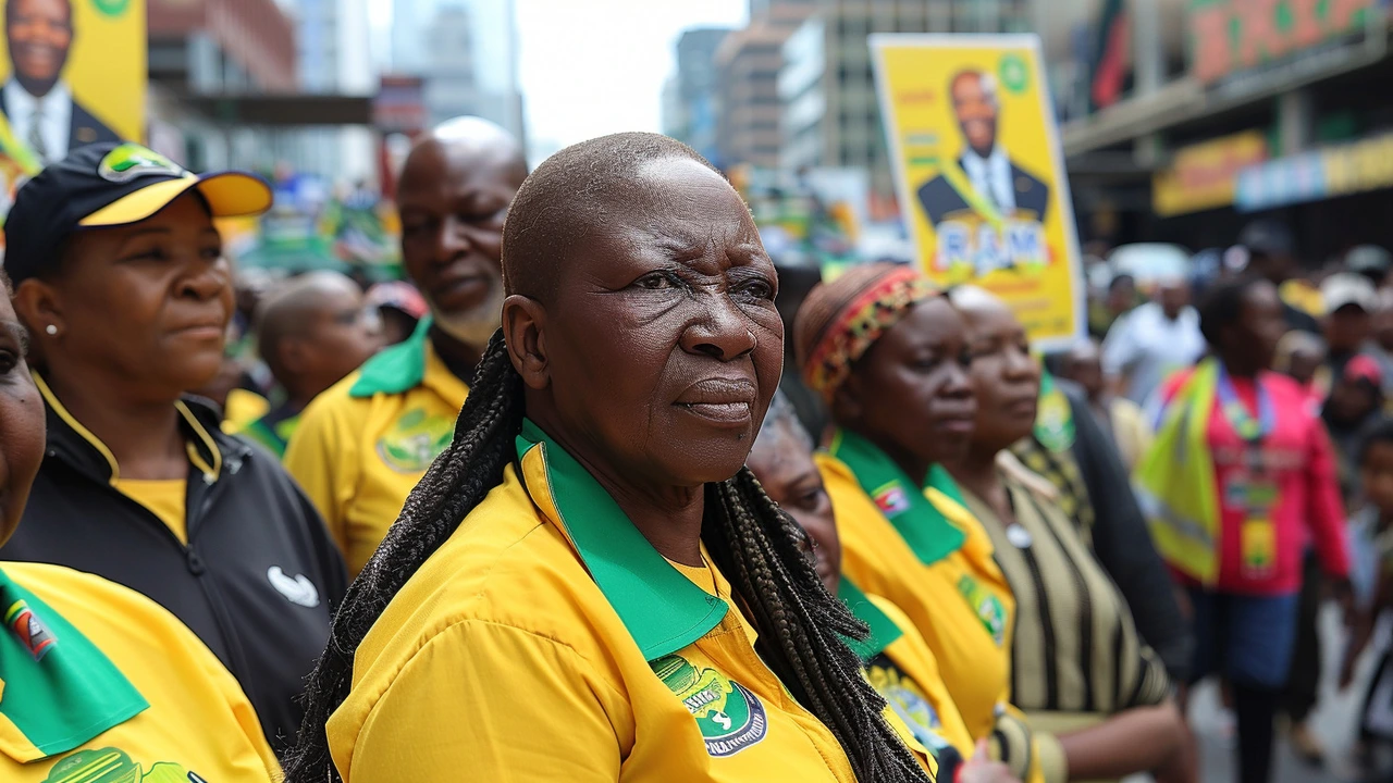
This weekend, roads surrounding the FNB Stadium in Johannesburg will experience closures due to the ANC Siyanqoba Rally. Motorists are urged to consider alternative routes such as the N1, M1, and N12 highways. The rally marks the final campaign push before the national elections, with President Cyril Ramaphosa and other leaders expected to speak.
MORE